Maps
MTC’s mapmakers transform data into compelling illustrations of regional trends in travel, population, land use, the economy and more.
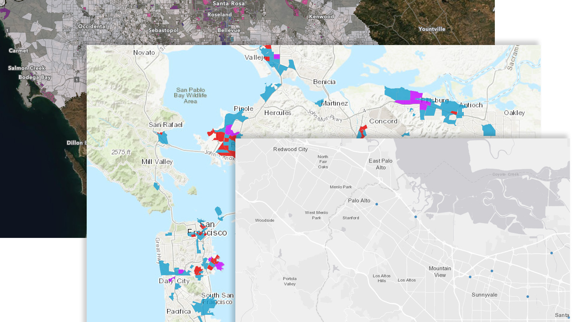
MTC’s cartographers (mapmakers) sift through stacks of statistics of geographic information system (GIS) data to produce eye-popping pictures worth a thousand words. Visit the MTC Map Gallery and the Open Data Catalog & Spatial Library to see more.
MTC Map Gallery
Browse MTC’s ArcGIS Map Gallery, which includes maps, layers and web apps developed by MTC staff.

Open Data Catalog & Spatial Library
MTC’s Spatial Library gathers data for mapping to illustrate trends and information geographically.

Vital Signs
Visit MTC's interactive website that offers data, visual representations of that data and written explanations about important trends in the Bay Area.
