Regional Transportation Studies
MTC studies how people travel throughout the Bay Area in order to plan for new and better ways to move around the region.
MTC studies how people travel throughout the Bay Area to propose new and better ways to move around our region.
MTC worked with rail operators and other public agencies to explore new ways to make decisions for, manage and deliver rail infrastructure and services in the Bay Area.

Exploring why transit ridership in the Bay Area started falling and how to reverse this trend.

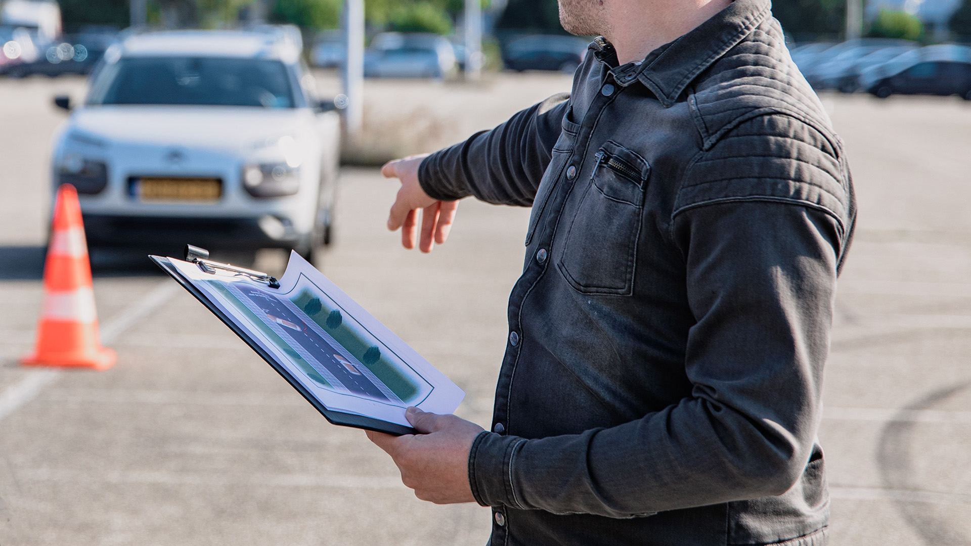
Collecting data to better understand the Bay Area’s transportation needs.

Studying how traffic moves across the Bay.

Identifying potential Bay Trail alignments to close the three-mile Bay Trail gap around San Francisco International Airport.

The Clipper BayPass program is designed to measure how an all-system pass could impact travel in the Bay Area.

Discounted rates on public transit for adults with lower incomes living in the Bay Area.

A collaborative effort to improve public transportation to and from the core of San Francisco.

Addressing the threat of rising tides on the bridge's west approach.

Testing a new smartphone app – RideFlag – to see how well the app works to verify carpools in an MTC Express Lane.

Discounted rates in the Interstate 880 Express Lanes for adults with lower incomes living in the Bay Area.

Studied ways to encourage Bay Area travelers to choose environmentally friendly travel modes instead of driving alone.

MASCOTS is a collaborative project between MTC and nine transit and funding agencies to create a more connected, frequent transit network.

The Bay Area’s freeways are too congested — people and goods are stuck in traffic — creating problems for individuals, for communities, for the environment and the economy.

The first study of the goods movement system to improve delivery of consumer products, food and parcels across the Bay Area’s nine counties.

The Origin-Destination Study looks at travel patterns at four Bay Area locations to improve active transportation access and conditions in those areas.

A passenger survey program that goes right to the source — Bay Area commuters.

Bay Area transit agencies regularly develop and update short-range plans to show operating and capital needs, service plans and budgets over a 10-year horizon.

The SoCo Rail Study is the first step in developing an East Bay passenger rail hub.

Researching ways to make the region's transit network better coordinated and more affordable.

The Transit Sustainability Project and Transit Performance Initiative work together to help prioritize investments that get transit vehicles out of traffic congestion.

Collecting travel, demographic and vehicle information, to give a timely picture of Bay Area travelers.