Resilience
MTC’s resilience and planning efforts help protect the Bay Area from earthquakes, floods, landslides and fires — as well as prepare for climate change hazards like sea level rise, extreme storms and drought.
Local agency staff: Get more details and resources on the Resilience at the Technical Assistance Portal on abag.ca.gov.
In response to the growing threat from natural disasters in Bay Area communities, MTC and its partners continue in their collaborative efforts to plan for a region that can better adapt, and be more resilient, to future hazards.
Sea Level Rise Regional Planning Initiatives
MTC and Bay Area agencies work together to understand sea level rise planning vulnerabilities, identify key projects and connect those projects to funding.
State Route 37
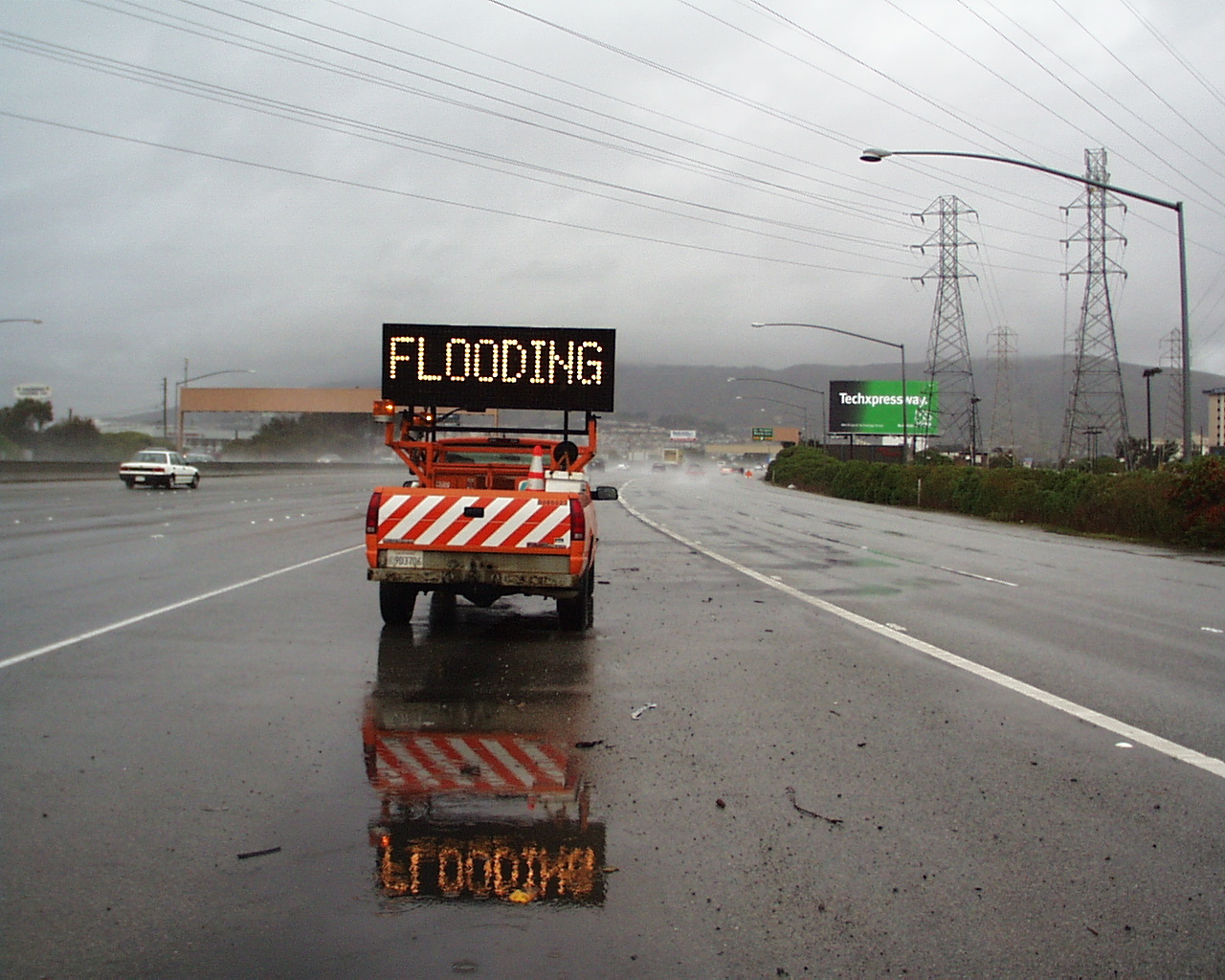
MTC and its partners are working to make State Route 37 more resilient against chronic traffic congestion, flooding and sea level rise, in order to preserve vital connections between jobs and housing.
Dumbarton Bridge Resilience Study
The Dumbarton Bridge carries more than 81,000 vehicles a day. MTC initiated the Dumbarton Bridge West Approach and Adjacent Communities Resilience Study to address the threat of sea level rise on the western approach.
Long-Range Planning: Plan Bay Area
Plan Bay Area 2050+ is a long-range regional plan that includes future efforts and possible solutions for ongoing resilience projects.
Resilience also underpins many other goals in Plan Bay Area 2050+, such as housing, infrastructure and economic development. These issues could be significantly compromised by the impacts of disasters or climate change.
By planning now, we save money in the future.
The Association of Bay Area Governments (ABAG) assists local governments and residents in planning for earthquakes, the effects of climate change and other hazards.

The Hazard Viewer is a mapping tool that provides information and data related to natural hazard potential in the Bay Area.

MTC partners with the Association of Bay Area Governments (ABAG), the San Francisco Bay Conservation and Development Commission (BCDC) and other agencies to create resilient communities that can better adapt to future hazards.