Dumbarton Bridge Resilience Study
The Dumbarton Bridge carries more than 80,000 vehicles a day. MTC's 2020 Dumbarton Bridge West Approach + Adjacent Communities Resilience Study assesses the threat of sea level rise near the bridge.
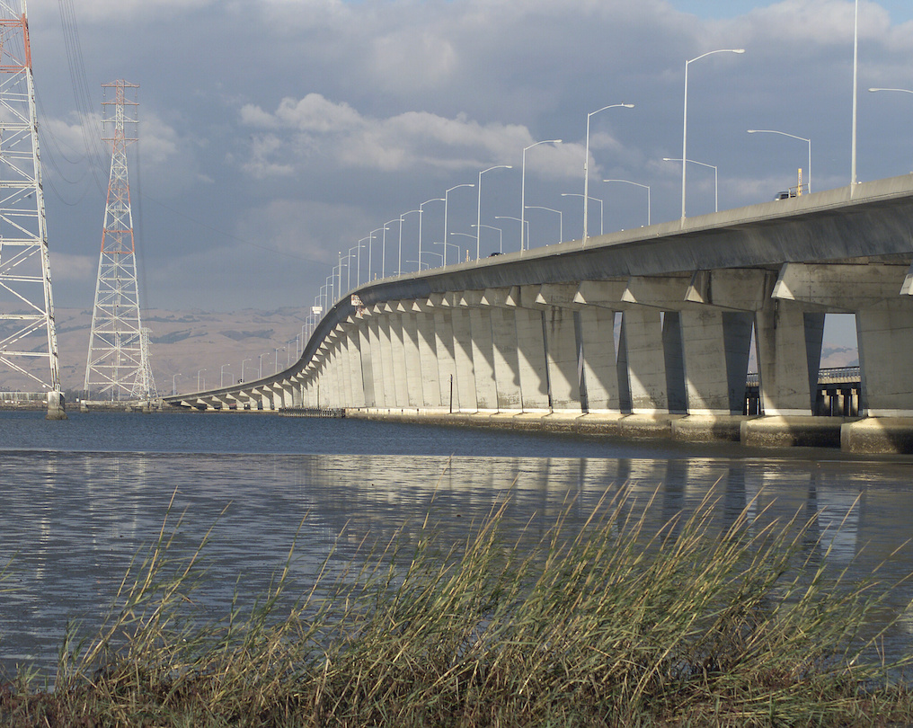
The Dumbarton Bridge, which is part of State Route 84 (SR 84), is a vital link in the Bay Area’s transportation network and carries more than 80,000 vehicles a day.
Previous studies have identified the western bridge approach and surrounding communities as vulnerable to rising tides.
To address this vulnerability, MTC – with support from an SB-1 Adaptation Planning Grant from the California Department of Transportation (Caltrans) – released the findings of the Dumbarton Bridge West Approach + Adjacent Communities Resilience Study in 2020.
Developing Adaptation Strategies
The project identified a range of phased sea level rise adaptation strategies to protect the west approach of the Dumbarton Bridge and adjacent communities of East Palo Alto and Menlo Park. These strategies provide near-term, mid-term and long-term sea level rise resilience for the critical infrastructure, vulnerable communities and valuable habitat within the study area.
The original Dumbarton Bridge was the first vehicular crossing over San Francisco Bay proper. It now provides three lanes in each direction, as well as a bicycle/pedestrian path.

MTC’s resilience and planning efforts help protect the Bay Area from earthquakes, floods, landslides and fires — as well as prepare for climate change hazards like sea level rise, extreme storms and drought.
The project was guided by a project management team made of representatives from MTC, Caltrans, City of East Palo Alto, City of Menlo Park, San Francisquito Creek Joint Powers Authority, San Francisco Bay Conservation and Development Commission (BCDC), California Coastal Conservancy and Bay Area Regional Collaborative.
The western bridge approach area and surrounding communities of Menlo Park and East Palo Alto were previously identified as vulnerable to sea level rise by studies conducted by MTC, BCDC and the County of San Mateo.

Click on the map image to see an expanded view of the project area.